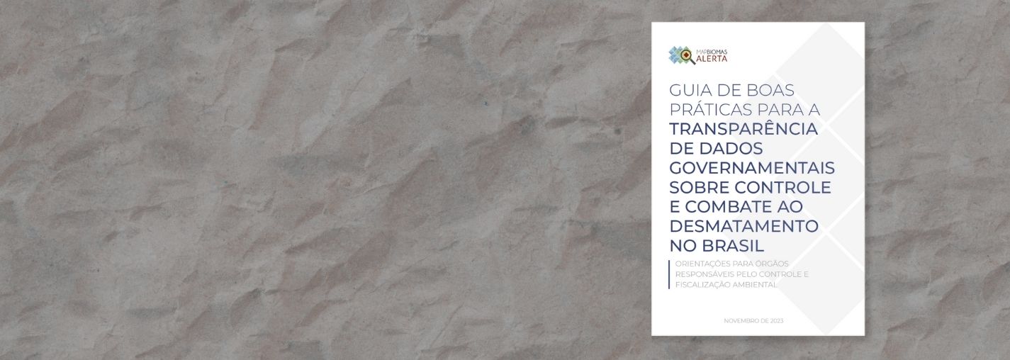

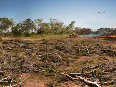
MapBiomas Alerta is a validation and refining system for deforestation alerts based on high-resolution satellite images.
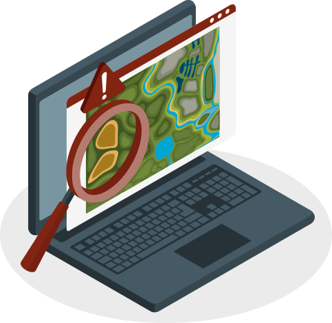
In a single platform, we bring together alerts from several detection systems for all of Brazilian biomes. We cross-reference them with relevant territorial data (e.g. municipalities, rural properties, protected areas, authorizations, embargoes, etc.) and provide detailed ready-to-use reports for each deforestation event in a free and open-acess way.
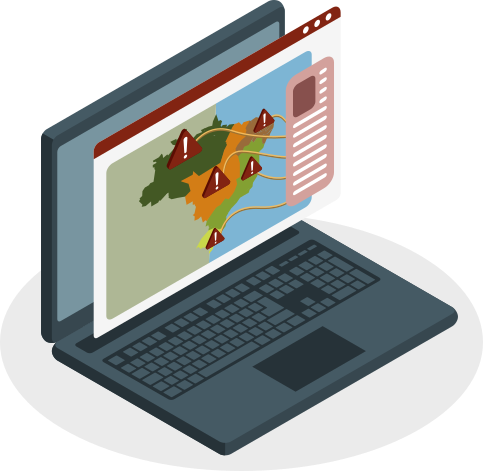
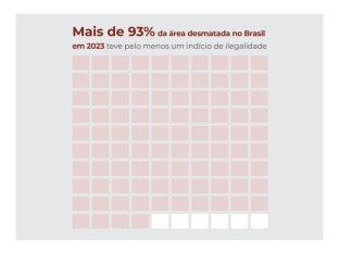
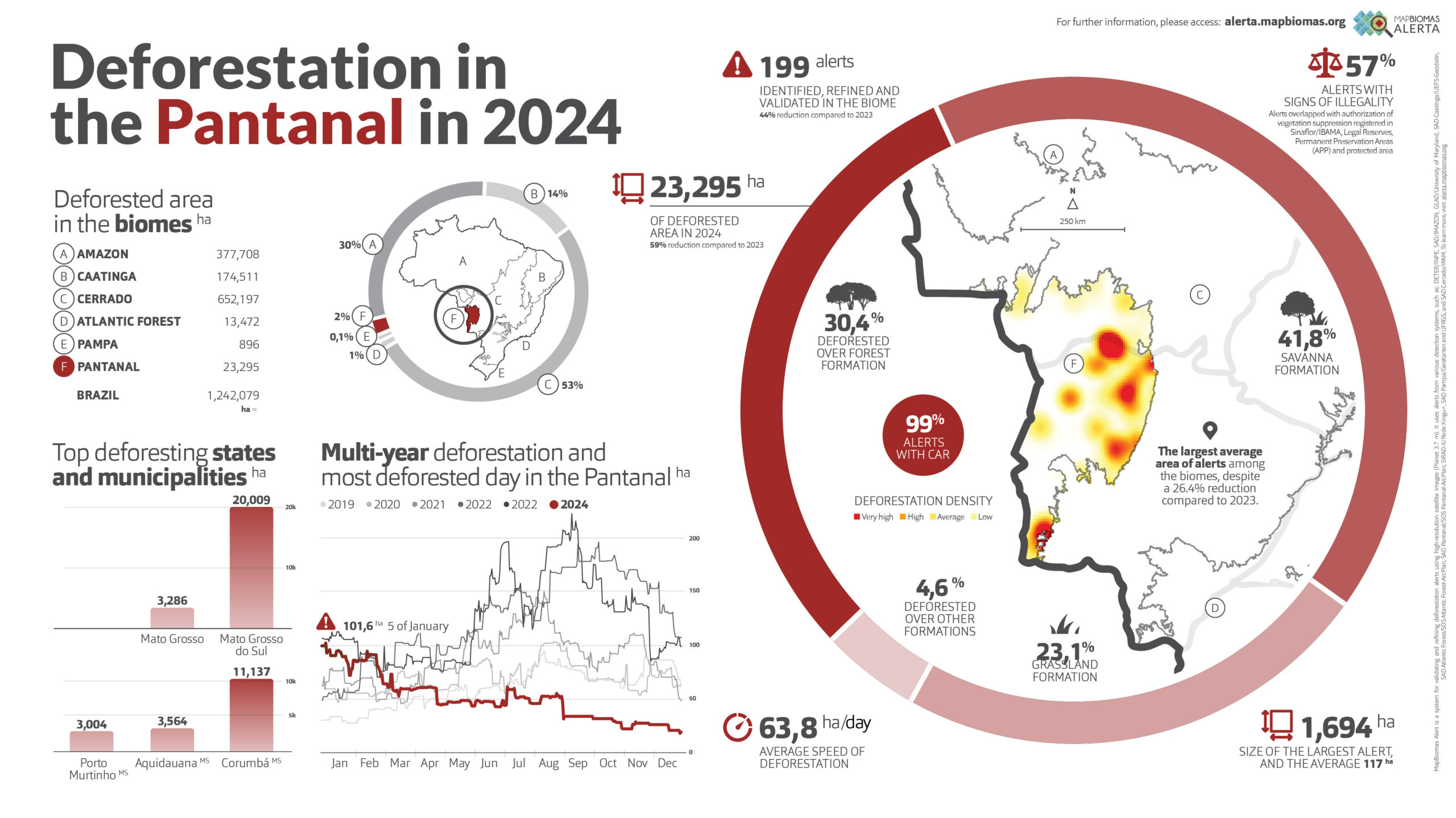
The MapBiomas Alerta initiative publishes any and all losses of native vegetation, without assessing the legality, regularity or responsibility for the suppression of the vegetation.
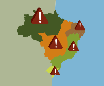
Every week you will find new deforestation alerts, validated for all Brazilian biomes, with several filter options for temporal and territorial analysis.
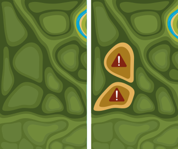
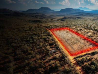
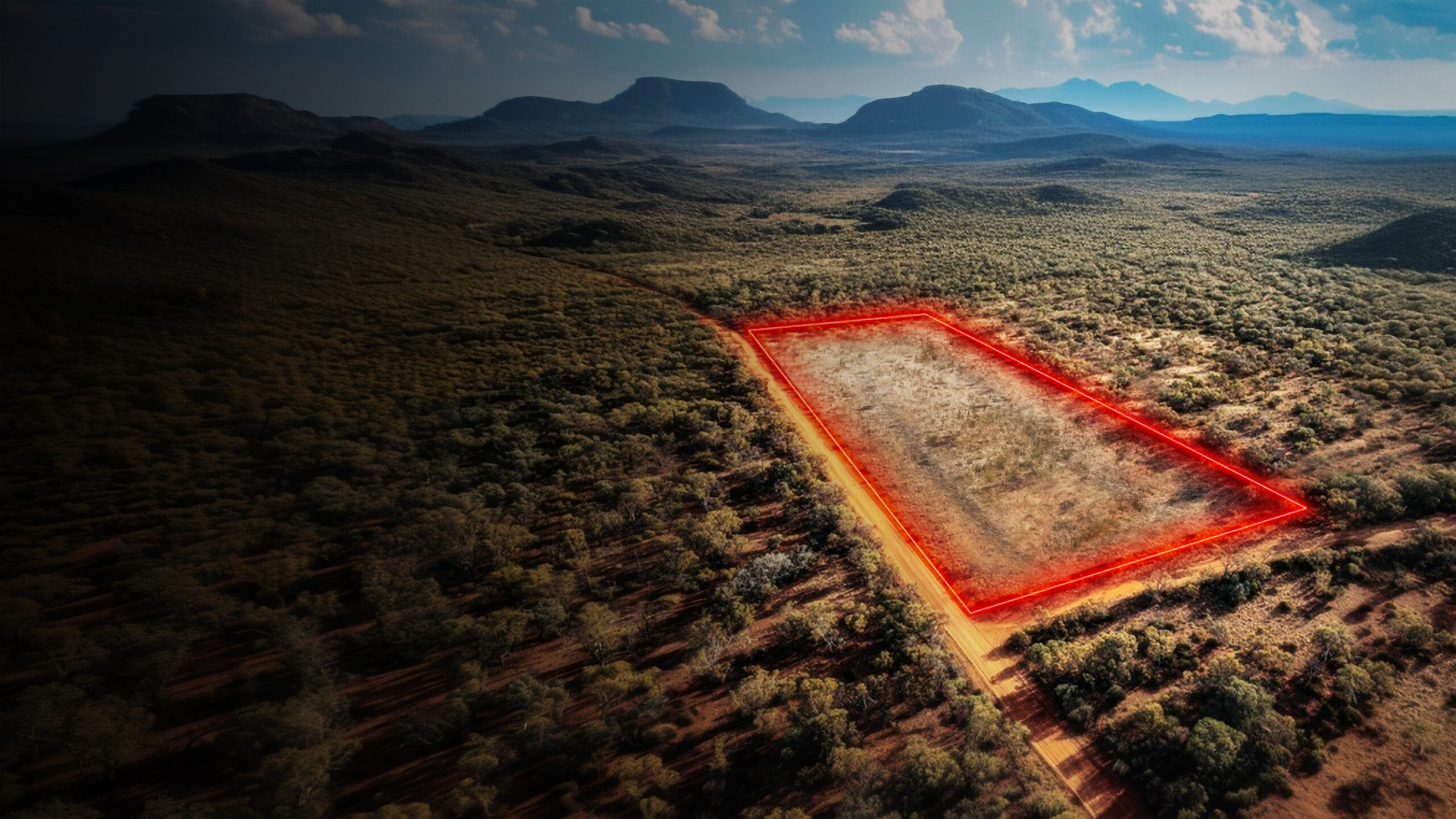
By selecting one alert, you can view high-resolution images of before and after the deforestation occurred.
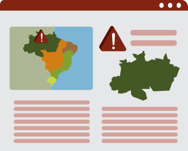
Access the full report for each rural property that overlaps a deforestation alert and search by CAR code.
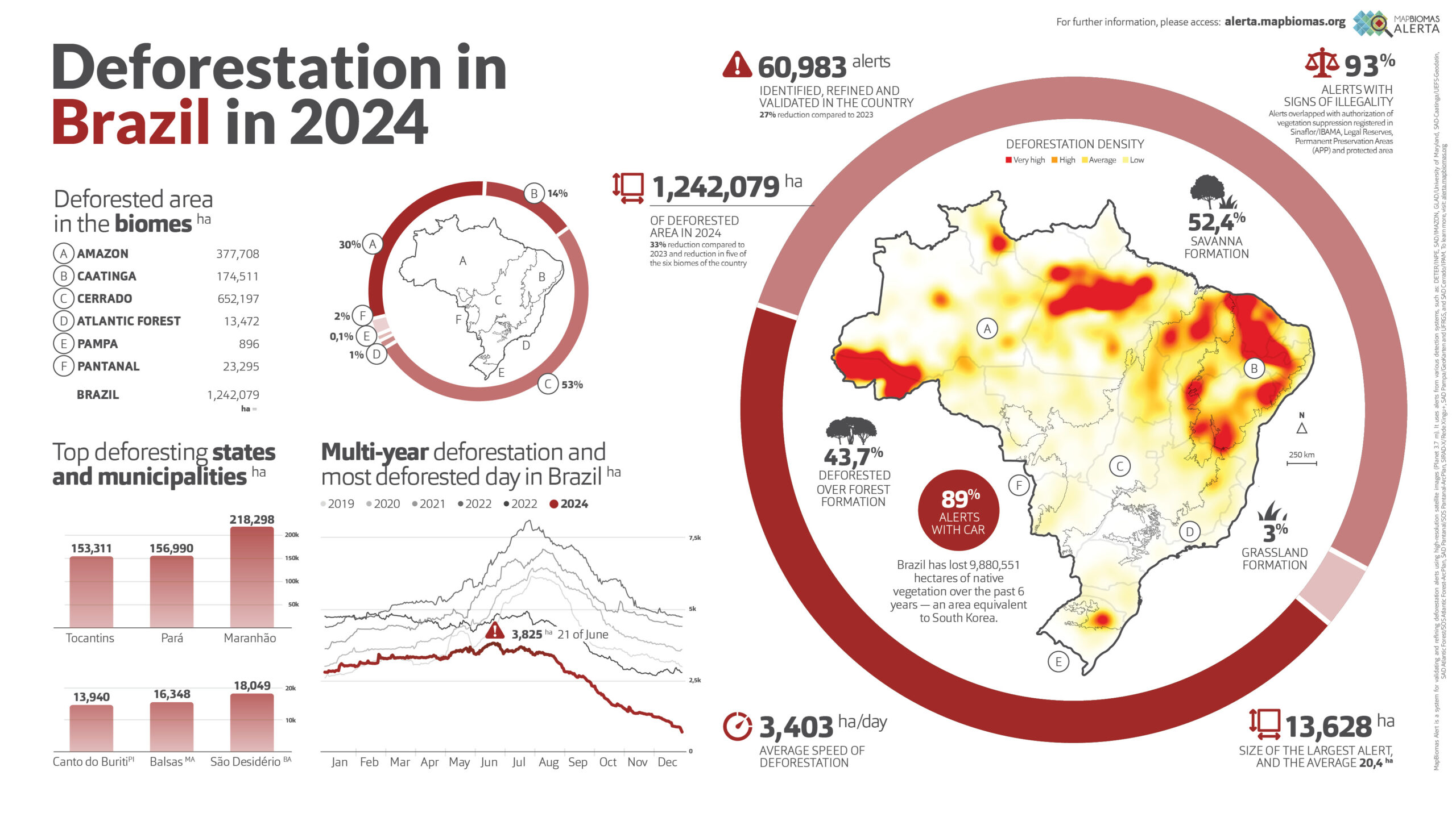
Brazil
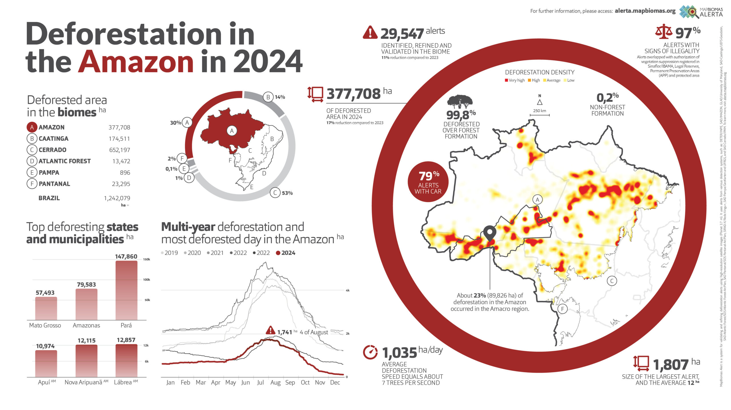
Amazon
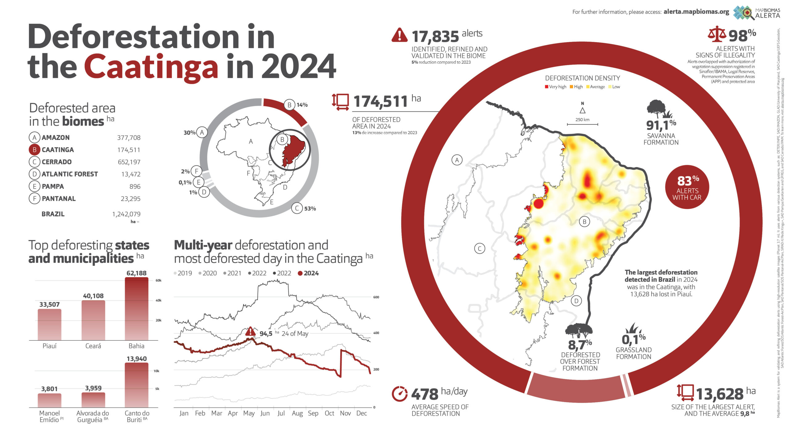
Caatinga
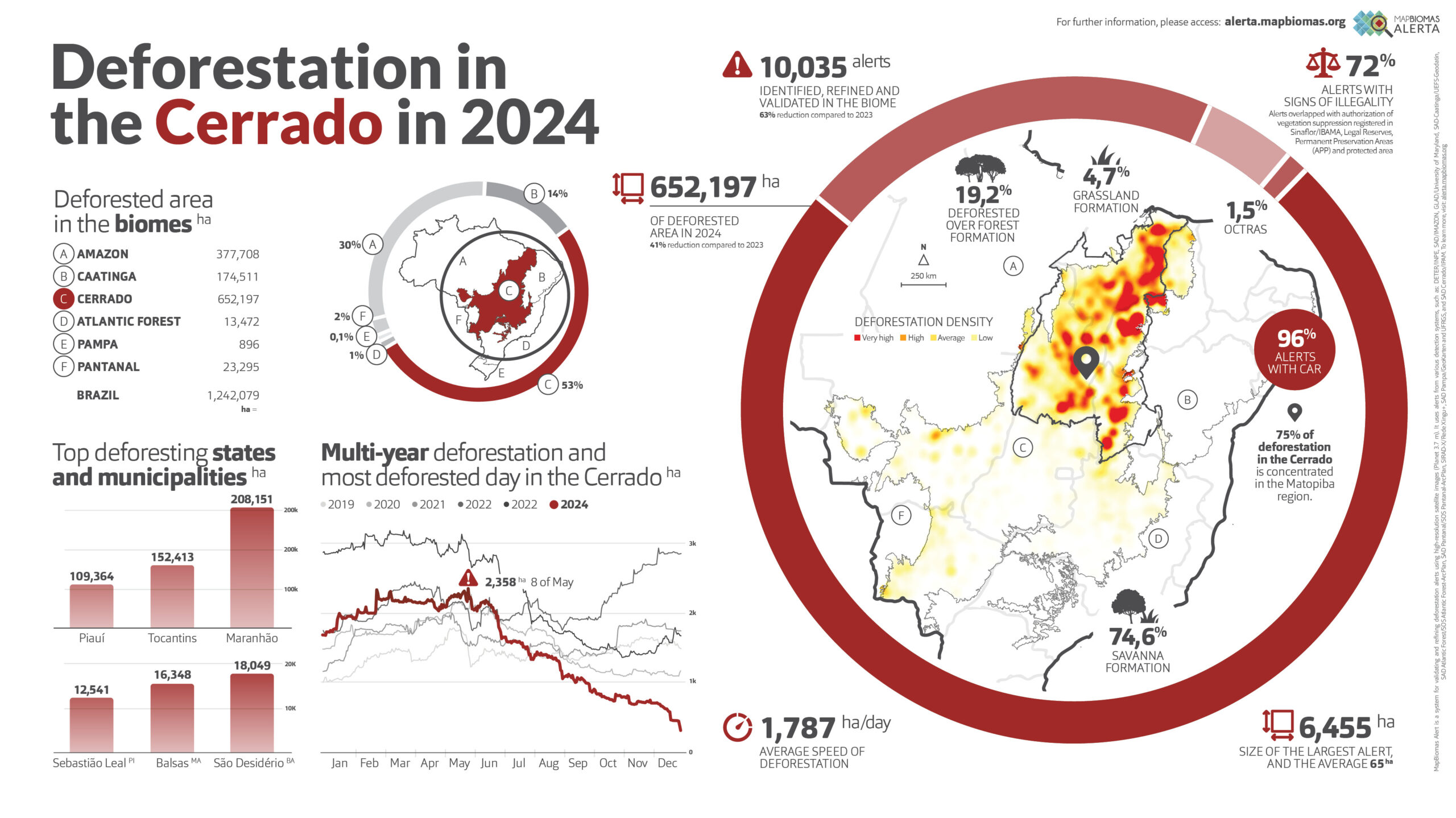
Cerrado
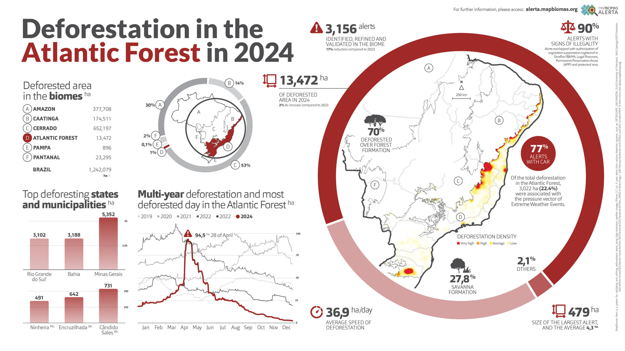
Atlantic Forest
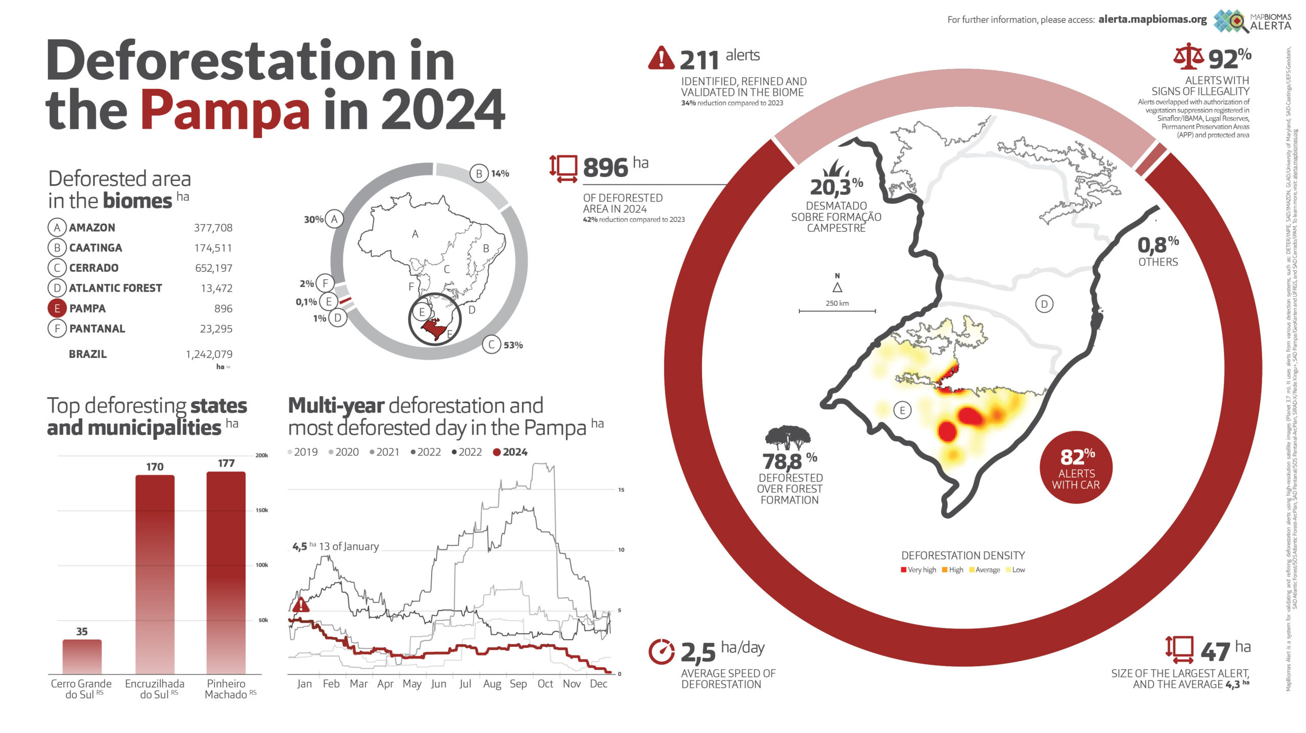
Pampa
Pantanal