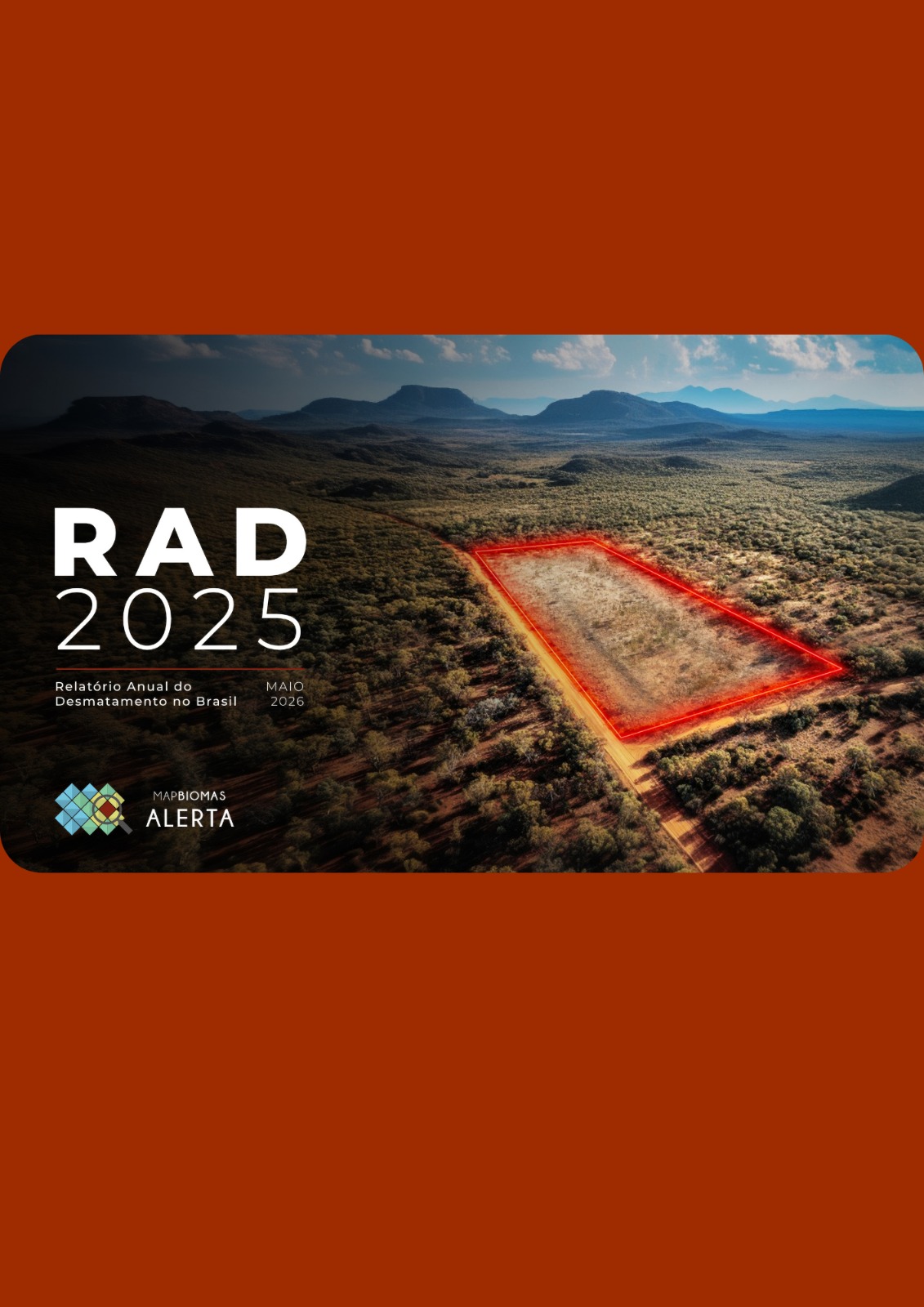
Annual Report on Deforestation in Brazil – RAD2025
Factsheets - Main results from the report
Arquivo com apresentação do evento
Shapefile | Alerts from 2019 to 2025 presenting:
- alert_code: unique alert code (formatted as one line per alert: this shape will show differences in area calculations for biome, state, and municipality because it assigns the area to the predominant category)
- souce: data sources for the original deforestation alert that entered the validation and refinement process of MapBiomas Alert
- area_ha: alert area in hectare
- biome: predominant biome (when the alert spans the boundary between more than one biome, the one with the largest area is recorded. In the report, values per biome are calculated based on the intersection area of each biome)
- state: predominant state (when the alert spans more than one state, the state with the largest area is listed. In the report, values by state are calculated based on the intersection area of each state)
- city: predominant municipality (when the alert spans more than one municipality, the one with the largest area is listed. In the report, values by municipality are calculated based on the intersection area of each municipality)
- ano_det: year of detection for the alert
Guia de Boas Práticas para Transparência de Dados Governamentais Sobre Controle e Combate ao Desmatamento no Brasil (atualização de maio/2026)
MapBiomas, in partnership with Instituto Centro de Vida (ICV) and Brasil I.O, launches this unprecedented guide that provides guidance and good practices on the provision of data on vegetation removal authorizations, infraction notices and deforestation embargoes.
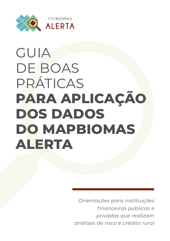
Best Practices Guide for Using MapBiomas Alerta Data
We have released the Best Practices Guide, which provides a compilation of detailed guidelines on the use of MapBiomas Alerta data by public and private financial institutions that conduct risk and rural credit analysis
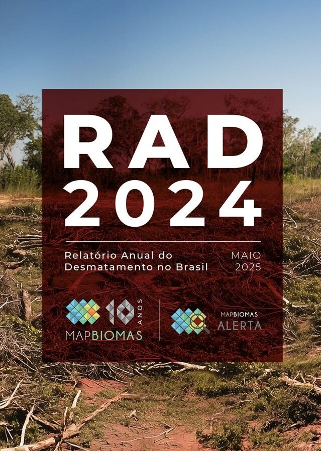
ANNUAL REPORT ON DEFORESTATION IN BRAZIL - RAD2024
Factsheet – main data from the report
> Explore the RAD2024
To access the alert database:
> Spreadsheet with alert data from 2019 to 2024 (.xls)
> Shape file with georeferenced polygons with alerts 2019 to 2024 (.zip)
> RAD 2024 Infographics
> Data panel by State
> Launch event
MapBiomas held webinars to discuss the fight against deforestation by public bodies in the states of Brazil:
> ES, RJ, SP, PR, RS e SC: 06/06 (Watch here)
> AL, CE, PE, PB, RN e SE: 13/06 (Watch here)
> MT, MS, GO, DF e MG: 17/06 (Watch here)
> AM, AC, RO, PA, AP e RR: 25/06 (Watch here)
> MA, TO, PI e BA: 27/06 (Watch here)
ANNUAL REPORT ON DEFORESTATION IN BRAZIL - RAD2023
For the 5th consecutive year, we present an x-ray of deforestation in all Brazilian biomes in 2023, go to:
Factsheets – main data from the report
To access the alert database:
> Spreadsheet with alert data from 2019 to 2023 (.xls)
> Shape file with georeferenced polygons with alerts 2019 to 2023 (.zip)
> Data panel by State
> Nota explicativa do bioma Pampa
States Webinar
MapBiomas held webinars to discuss the fight against deforestation by public bodies in the states of Brazil:
> MT, MS, GO, MG e DF: 04/07 (Watch here)
> ES, RJ, SP, PR, RS e SC: 11/07 (Watch here)
> AM, AC, RO, PA, AP e RR: 18/07 (Watch here)
> AL, CE, PE, PB, RN e SE: 25/07 (Watch here)
> MA, TO, PI e BA: 01/08 (Watch here)
ANNUAL REPORT ON DEFORESTATION IN BRAZIL - RAD2022
For the 4th consecutive year, we present an x-ray of deforestation in all Brazilian biomes in 2022, go to:
Factsheets – main data from the report
To access the alert database:
> Spreadsheet with alert data from 2019 to 2022 (.xls)
> Shape file with georeferenced polygons with alerts 2019 to 2022 (.zip)
> Data panel by State
Regional Webinars
Focused on each region, MapBiomas held webinars to discuss the fight against deforestation by public bodies in the states:
>South: 07/20 (Watch here)
>Midwest: 07/27 (Watch here)
>Southeast: 03/08 (Watch here)
>North:11/08 (Watch here)
>Northeast (Alagoas, Ceará, Paraíba, Pernambuco, Rio Grande do Norte and Sergipe): 17/08 (Watch here)
>MATOPIBA (Maranhão, Tocantins, Piauí and Bahia): 08/24 (Watch here)
Good Practice Guide for Implementing the Remote Embargo in Deforested Areas in Brazil
We launched the Good Practice Guide for Implementing the Remote Embargo of Deforested Areas in Brazil.
To access the complete Guide, Click here
To watch the recording of the launch event held on November 22, 2022, visit:
https://www.youtube.com/watch?v=g-pfHSqxZKc
To watch and share the Guide's promotional video, use:
https://www.youtube.com/watch?v=SNKvI4mwM_g
ANNUAL REPORT ON DEFORESTATION IN BRAZIL - RAD2021
For the 3rd consecutive year, we present an x-ray of deforestation in all Brazilian biomes in 2021, visit:
Factsheets – main data from the report
To access the alert database:
> Spreadsheet with alert data from 2019 to 2021 (.xls)
> Shape file with georeferenced polygons with alerts 2019 to 2021 (.zip)
> Data panel by State
Regional Webinars
Focused on each region, MapBiomas held webinars to discuss the fight against deforestation by public bodies in the states:
>South: 10/08 (Watch here)
>Southeast: 12/08 (Watch here)
>Midwest: 08/17 (Watch here)
>North/AMACRO (Amazonas, Acre and Rondônia): 08/29 (Watch here)
>North (Amapá, Pará and Roraima): 31/08 (Watch here)
>Northeast (Alagoas, Ceará, Paraíba, Pernambuco, Rio Grande do Norte and Sergipe): 02/09 (Watch here)
>MATOPIBA (Maranhão, Tocantins, Piauí and Bahia): 05/09 (Watch here)
ANNUAL REPORT ON DEFORESTATION IN BRAZIL - RAD2020
For the 2nd consecutive year, we present an x-ray of deforestation in all Brazilian biomes, visit:
Highlights – main data from the report
To access the alert database:
> Spreadsheet with all 2020 alerts (.xls)
> Shape with all 2020 alerts (.zip)
Launch Event.
Regional Webinars
Focused on each region, MapBiomas held webinars to discuss the fight against deforestation by public bodies in the states:
>South: 06/25 (Watch here)
>Southeast: 02/07 (Watch here)
>North: 07/09 (Watch here)
>Northeast: 16/7 (Watch here)
>Midwest: 7/23 (Watch here)
Also check out the Regional Webinars Report, with a summary of the debate on the use of MapBiomas in the states, transparency and data availability, actions to combat illegal deforestation by state governments and recommendations for environmental inspection agencies.

ANNUAL REPORT ON DEFORESTATION IN BRAZIL - RAD2019
An unprecedented report from MapBiomas consolidates deforestation data in all Brazilian biomes and points to the loss of at least 1.2 million hectares of native vegetation.
Report analyzing the federal government's actions in relation to deforestation alerts
Report made in partnership with IDS (Democracy and Sustainability Institute) presents evidence on the current situation of the federal government's actions in relation to deforestation alerts and transparently reports on requests sent to federal agencies.
Requests and responses from the bodies mentioned in the report