According to the latest MapBiomas Annual Deforestation Report (ADR), 90% of the deforested area in the country last year are in the Amazon and Cerrado
>> Access the full report and the highlights of the DAR 2022
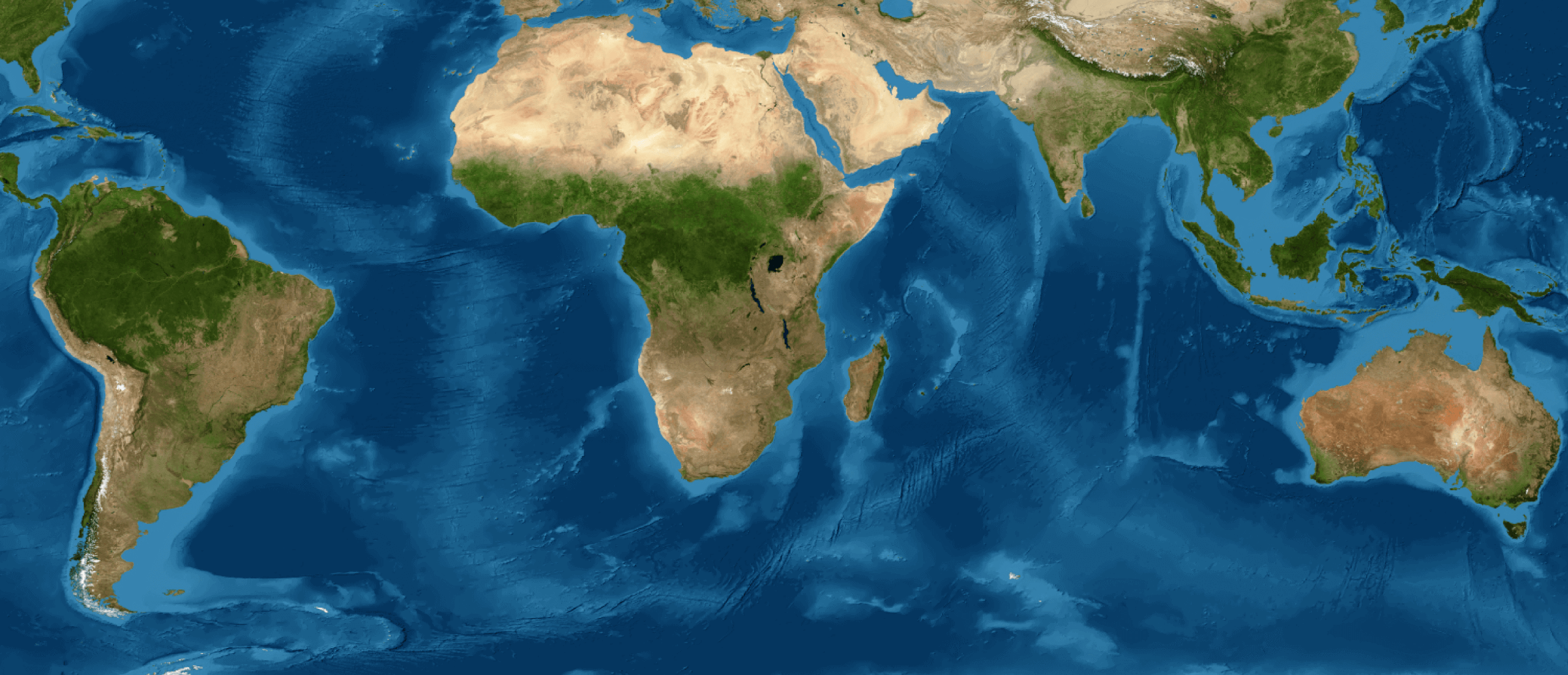
The deforested area in Brazil grew 22.3% in 2022 according to the latest MapBiomas Annual Deforestation Report (DAR 2022), which consolidates data from the entire national territory and its biomes, released on Monday (12)There were 76,193 alerts identified, validated and refined, which totaled 2,057,251 ha of deforestation last year.
In four years (2019 to 2022), since the DAR was implemented, more than 303,000 deforestation events totaling 6.6 million hectares were reported, which is equivalent to one and a half times the area of the state of Rio de Janeiro.
The Amazon and the Cerrado together account for 70.4% of the alerts and 90.1% of the deforested area in 2022. Although the Cerrado has a share of only 8.3% in the total number of alerts, the total area deforested represents almost a third of the natural vegetation suppressed in the country (32.1%) last year due to the size of the alerts.
There was an increase in the area deforested in five of the six Brazilian biomes between 2021 and 2022, with the exception of the Atlantic Forest. In terms of area, the largest increases occurred in the Amazon (190,433 ha increase) and in the Cerrado (156,871 ha increase). In proportional terms, the largest increases occurred in the Cerrado (31.2%) and Pampa (27.2%).
>> Every second, about 21 trees were cut down in the Amazon in 2022
>> Terras Indígenas permanecem como os territórios mais preservados do Brasil
Of the total deforestation events in 2022, 62.1% occurred in the Amazon, with 1,192,635 ha deforested (58% of the total area deforested in the country). The Caatinga appears next, with 18.4% of the alerts and 140,637 ha (6.8% of the area), followed by the Cerrado with 8.3% of the alerts (32.1% of the area) and 659,670 ha. Even though most of its forest area has been deforested, with less than 29% of its forest cover remaining, 30,012 ha have been deforested in the Atlantic Forest, which represents 1.5% of the total area deforested in the country.
Despite accounting for the smallest area of alerts (0.2% of the total), the Pampa had an increase of 27.2% in the deforested area from 2021 to 2022, but it was the first time that the SAD Pampa was incorporated into the MapBiomas monitoring system. In the Pantanal, there was a decrease in the number of validated alerts (-8.9%), but an increase of 4.4% in the deforested area between 2021 and 2022.
Pará maintains the leadership; Amazonas is where deforestation increases the most
The state of Pará leads the deforestation ranking, with 22.2% of the deforested area in the country (456,702 ha), followed by Amazonas, with 13.33% (274,184 ha). The deforested area in Amazonas grew 37% compared to 2021, leading the state to surpass Mato Grosso for the second year in a row.
In third place was the state of Mato Grosso, with 11.62% of the deforested area (239,144 ha), followed by Bahia, with 10.94% (225,151 ha). It overtook Maranhão, which had 168,446 ha deforested (8.2%). Together, these five states (PA, AM, MT, BA and MA) accounted for two thirds (66%) of the deforestation detected in Brazil in 2022.
Almost two thirds of Brazilian municipalities had deforestation
Of the 5,570 Brazilian municipalities, 3,471 (62%) had at least one deforestation event detected and validated in 2022. Among the 3,471 municipalities that had alerts in 2022, only 50 accounted for 52% of the total deforested area in Brazil, 17 of which are in the state of Pará and eight in Amazonas.
The municipality of Lábrea, in Amazonas, with 62,419 ha deforested, surpassed the deforested area of the municipality of Altamira in Pará, champion of deforested area in the last three reports.
Considering the last four years, only 1426 municipalities (25.6%) had no deforestation detected.
Amacro and Matopiba: the deforestation hubs
In Matopiba, 26.3% of the deforested area in Brazil was concentrated in 2022. There were 4,975 alerts and 541,803 ha deforested - a 37% increase in the deforested area compared to 2021. The Matopiba region was where most of the deforestation in the Cerrado was concentrated: about 82.1% of the area of suppression of native vegetation in the biome. It is also in Matopiba where the 10 municipalities that deforested the most in the Cerrado in 2022 are located.
In the Amacro region, there were 7,055 alerts and 231,955 ha deforested in 2022 - 11.3% of the deforested area in Brazil and approximately 19.4% of what was lost in the Amazon. There was a 12.3% increase in deforestation in this region in 2022 compared to 2021.
90% of the deforested area in Brazil overlaps with only 1.1% of the properties registered in the CAR
The area of deforestation with total overlap with areas with CAR reached 1,729,099 ha, which represents 83% of the deforested area in the country in 2022. However, when one considers the area of alerts that also partially overlap with the CAR, this number rises to 1,887,247 ha, or 90% of the deforested area in Brazil. The Pantanal and the Cerrado are the biomes with the highest proportion of the total area of alerts that intersect totally or partially with CAR: 99% and 98%, respectively.
Only 1.1% of the properties registered in the CAR registered deforestation in 2022 in Brazil. However, this small percentage accounted for 79% of the alerts in the country. In all, 60,183 alerts identified in 2022 overlapped totally or partially with CAR areas.
The largest concentration of properties in the CAR with deforestation is in the Amazon biome (118,711 properties, 56%), followed by the Cerrado (49,405 properties, 23%) and the Caatinga (28,364 properties, 13%). Of the properties registered in CAR with validated deforestation in 2022, 39,063 (52%) were repeat offenders, that is, they had deforestation registered in more than one year.
Considering the four-year period (2019 to 2022) at least one deforestation was detected in 212,884 CARs, which represents 3.1% of the total CARs. This indicates that in the last four years there was no deforestation detected in 96.9% of the nearly 7 million rural properties registered in the CAR.
Irregularity reigns in deforestation
Besides the overlap with protected areas in IT and UC, the report includes other evidence of irregularities, such as the overlap of deforestation with Legal Reserve Areas (RL) and Permanent Preservation Areas (APP). These areas are not subject to deforestation, except under very specific and authorized conditions. However, the researchers identified 39,661 alerts overlapping by at least 0.3 ha over the Legal Reserve in 2022. This means that half (52%) of the alerts overlap with RL. In terms of area, 699,189 ha overlapped with RL, which represents 34% of the total area deforested in 2022. All biomes had an increase in the area deforested in Legal Reserve in 2022 when compared to the previous year (2021), with the exception of Cerrado.
The analysis of deforestation in Permanent Preservation Areas along rivers considered data self-declared by landowners in SICAR, which are underestimated. Even so, in 2022, there was an overlap of 6,867 alerts (9% of the total) with at least 0.3 ha in APP. In terms of area, the overlap was 23,839 ha, or 1.1% of the total deforested area in the country. In Brazil and in all biomes, there was an increase in the area deforested in APPs in 2022 compared to 2021.
When cross-referencing the data on authorized deforestation that respects the Legal Reserve, Permanent Protection Areas, springs and without overlapping with protected areas (such as Conservation Units and Indigenous Lands), it can be seen that only 228 of the 76,193 alerts, or 0.3% (0.7% in area), meet the criteria established by experts for evidence of legality. This means that there is evidence of illegality of the deforested area in Brazil above 99%, considering the official data made available.
Impunity still dominates illegal deforestation
The Report analyzed the actions taken by the environmental control agencies to curb illegal deforestation, including legal proceedings and embargoes. The fines and embargoes issued by IBAMA and ICMBio up to May 2023 reached only 2.4% of the deforestation alerts and 10.2% of the deforested area identified from 2019 to 2022.
When considering the 59 municipalities defined as priorities by the Ministry of Environment to combat deforestation in the Amazon, this index is a little better: 4.1% of the total alerts and 17.7% of the deforested area.
When state efforts are added, the percentage of alerts with authorizations and actions rises to 9.7% and, in terms of area, reaches 35.5%.
In the period from 2019 to 2022, the states with the highest proportion of deforestation responded with some kind of action (whether authorization, fines or embargoes) by environmental agencies and public ministries were Espírito Santo (73.7% of the alerts in the state), Rio Grande do Sul (55.6%), São Paulo (40.3%), Mato Grosso (37.3%). The states with the least action were Pernambuco (0.8%), Maranhão (1.6%) and Ceará (1.9%).